
|
August 17, 1999 - Rattlesnake Ledge
Elevation Gain: 1300 ft Time up: 55 minutes Time down: 40 minutes Difficulty: Easy/Moderate |
Related Books: |
| Take Exit 32 on I-90 to 436th Ave NE (Cedar Falls Rd). Turn right and drive 2.7 miles to Rattlesnake Lake Recreation Area. Signs will point you to the Rattlesnake Ledge Trailhead. | |||
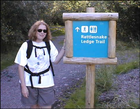 Let's get started! 486 x 378 |
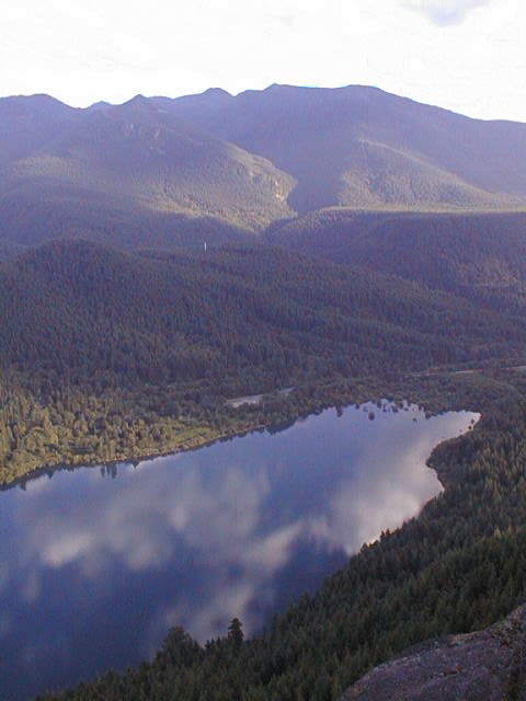
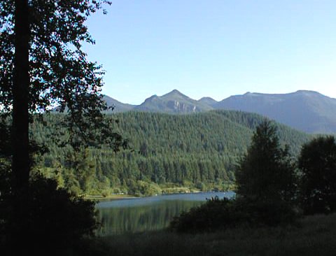 Peeking at Rattlesnake Lake 480 x 366 |
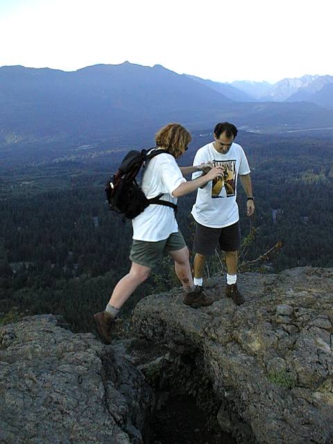 Bill helps Amy cross a four foot dropoff 480 x 640 |
 Amy likes carrots 480 x 640 |
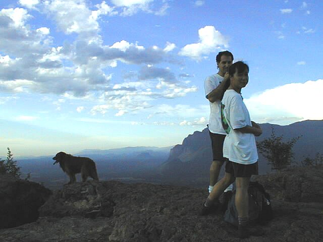 Lily, Bill, and a wild boar! 640 x 480 |
 Cool cloudy reflection 480 x 640 |
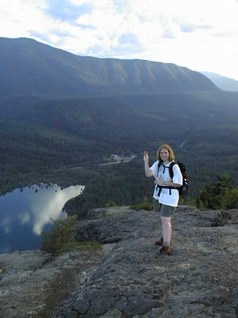
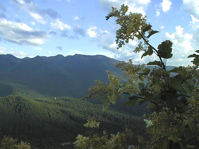
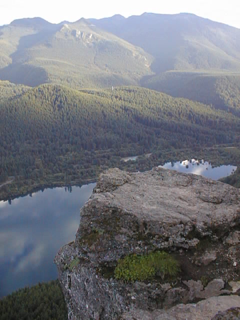
 View from above 480 x 640 |
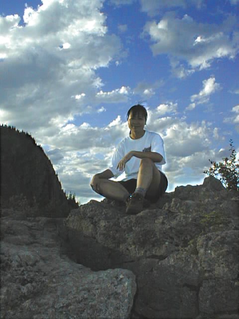
 Chris gives it two thumbs up! 640 x 480 |
 Behind a bush 640 x 480 |
 It's Lily with a strange glow! 480 x 640 |
 The girls take a moment to reflect 640 x 480 |
 Don't jump from here 480 x 640 |
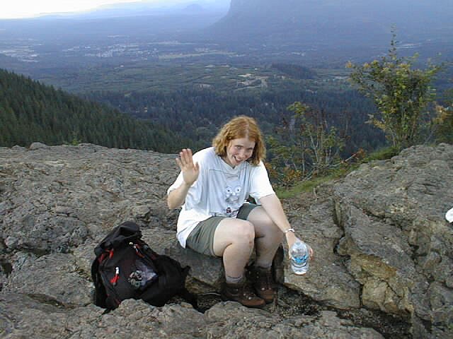 Amy waves hello! 640 x 480 |
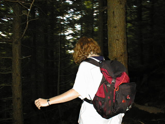 Was that the Blair Witch? I'm outta here! 640 x 480 |
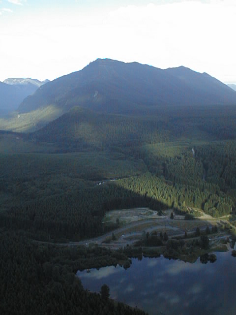
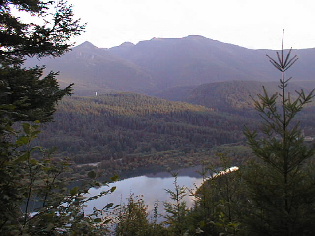 View of Rattlesnake Lake 640 x 480 |
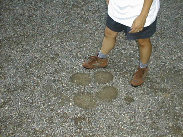 Lily's shoes next to Chris's... er, Bigfoot's boot prints 640 x 480 |
All photos Copyright © Chris Duval