
|
July 16, 2000 - Cedar Butte
Elevation Gain: 800 ft Time (RT): 2 hours Distance (RT): 3 miles Difficulty: Moderately Easy |
Related Books: |
| Go off I-90 on Exit 32 and drive 436th Ave SE (Cedar Falls Road) toward Rattlesnake Lake. At 1/4 mile short of the entry house at the lake, turn left on a wide gravel road and park at the first sharp bend. You may need a trail guidebook (above) to find the actual trail. | ||
 Not much shade... 480 x 640 |
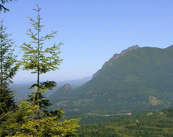 Mt. Si and Little Si from the top 608 x 480 |
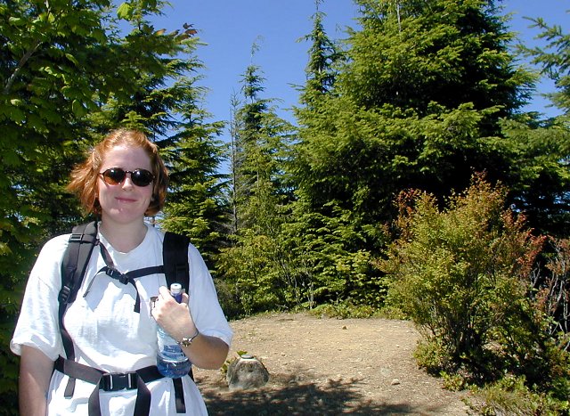 Amy stands near the reference marker. 640 x 467 |
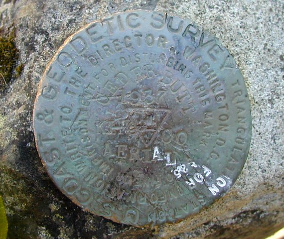 The marker reads "Ceder Butt 1937" 570 x 480 |
 Looking east over trees to Mt. Washington 479 x 640 |
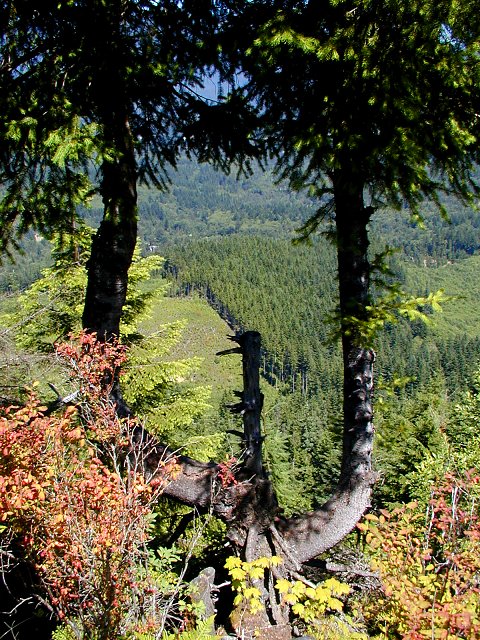 Interesting looking tree with fall-like colors. 480 x 640 |
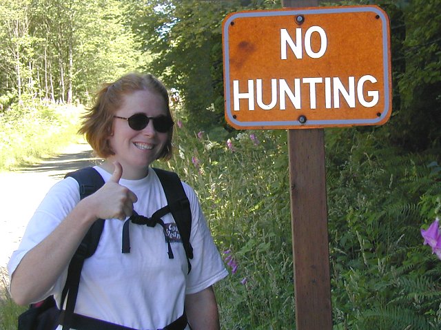 Amy gets all political on us. 640 x 479 |
Not the most satisfying hike we've done, but good enough for what we wanted -- short, somewhat of a workout, and close to Seattle. |
|
All photos Copyright © Chris Duval