Sitemap

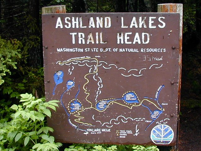
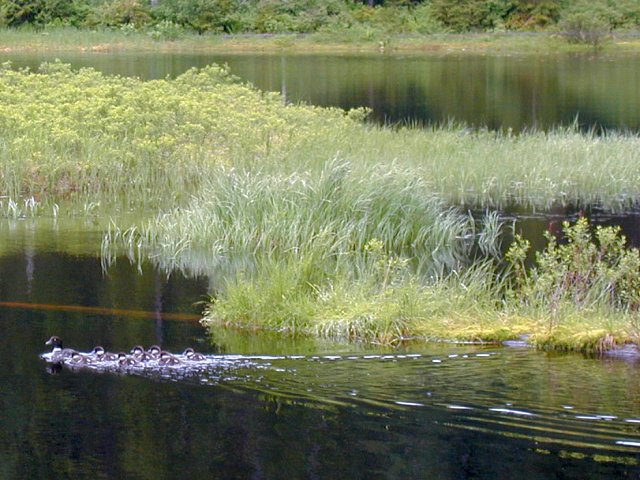
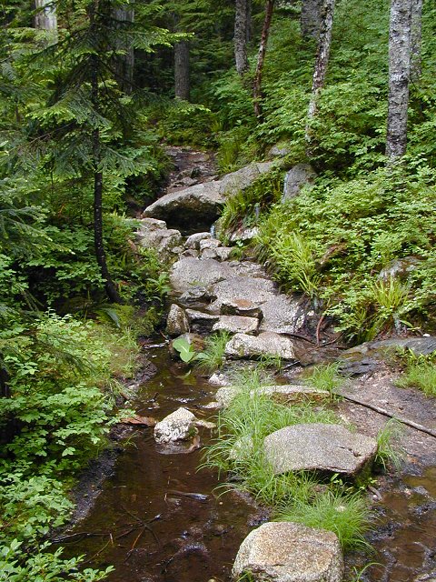
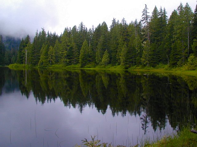
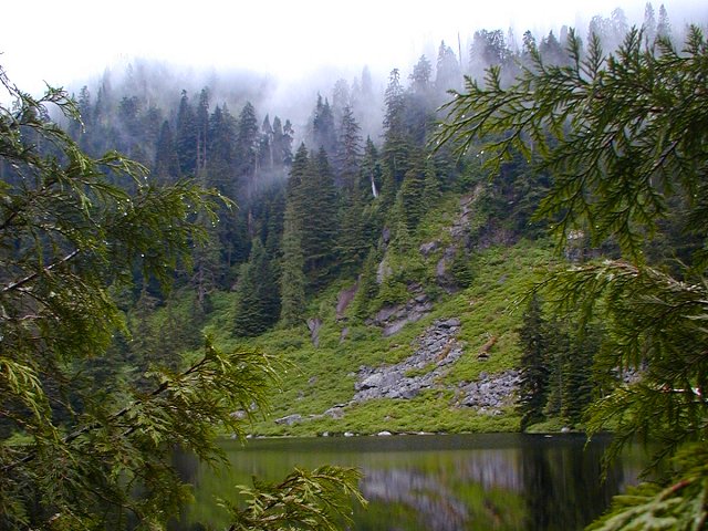
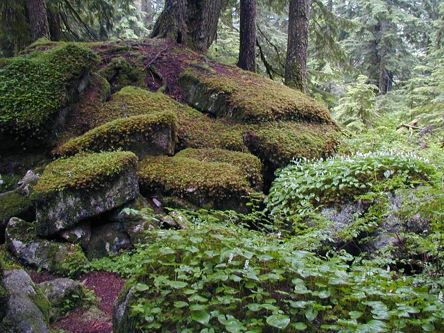
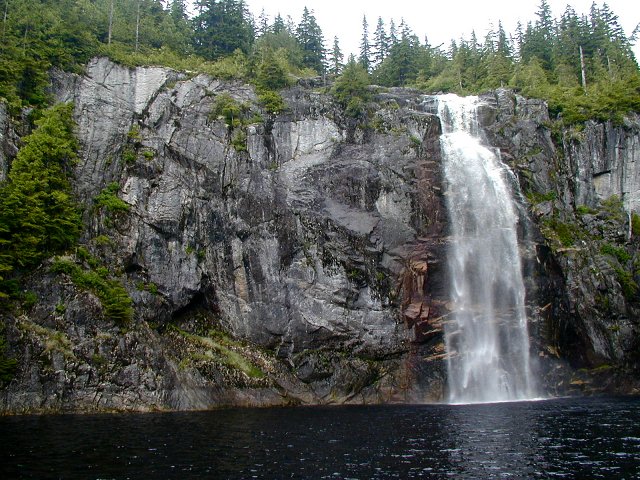
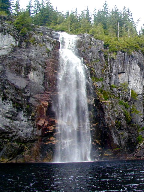
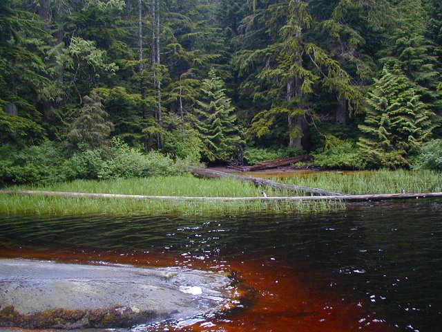
June 22, 2003 - Ashland Lakes Trail
Elevation Gain: 1300 ft
Time (RT): 4.5 hours
Distance (RT): ~8.75 miles (to Twin Falls Lake)
Difficulty: Easy to Ashland Lakes, tricky to Twin Falls Lake
  • Ashland Lakes Trail @ Seattle P-I
  • Ashland Lakes Trail @ MBSNF
    Note that the mileage stats on the above links do not include ~1 mile walk to the "true" trailhead.

    Related Book:
    Best Hikes with Children: Western Washington & the Cascades, Vol. 1

  • Drive the Mountain Loop Highway 4.6 miles past the Verlot Public Service Center and turn right onto Schweitzer Creek Road #4020. At 2.3 miles turn right onto Bear Lake Road, #4021. Drive another 1.5 miles to a Y, turn left and follow the road 0.2 mile to the trailhead. All turns are well marked.
    ashland01.jpg
    Trailhead marker and map in one!
    640x480
    ashland02.jpg
    Plenty of wet vegetation along the trail
    640x480
    ashland03.jpg
    Great place to sit and snack at Beaver Plant Lake
    640x480
    ashland04.jpg
    Boardwalk allows you to walk around the entire lake
    480x640
    ashland05.jpg
    No beavers, but there were ducks...
    640x480
    ashland06.jpg
    An example of the wet trail
    480x640
    ashland07.jpg
    Upper Ashland Lake
    640x480
    ashland08.jpg
    Low clouds in the trees on this cool day
    640x480
    ashland09.jpg
    Close look at Lower Ashland Lake
    640x480
    ashland10.jpg
    Looking across the lake
    640x480
    ashland11.jpg
    Another cool reflection in Lower Ashland Lake
    640x480
    ashland12.jpg
    This sign was actually helpful ;)
    480x640
    ashland13.jpg
    Plants growing on large boulders along the trail
    640x480
    ashland14.jpg
    Wilson Creek plunges 125 feet into Twin Falls Lake
    640x480
    ashland15.jpg
    Looking closer at Upper Twin Falls
    480x640
    ashland16.jpg
    Deep red color at the shore of Twin Falls Lake
    640x480

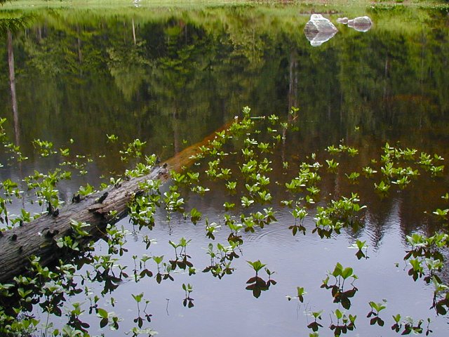
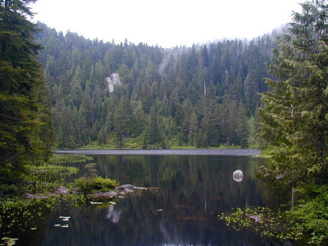
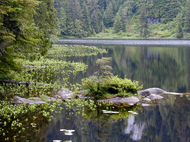
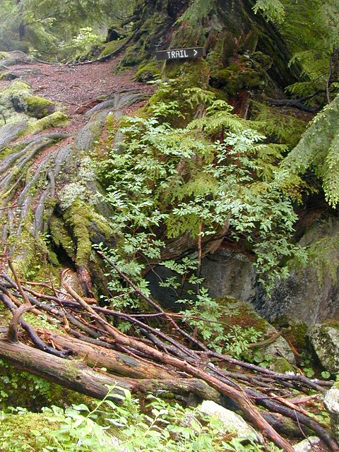
    All photos Copyright © Chris Duval