Sitemap

December 25, 2003 - Cedar Butte
Elevation Gain: 800 ft
Time (RT): 2 hours
Distance (RT): 3+ miles
Difficulty: Moderately Easy
  • A Comprehensive Guide to Cedar Butte
  • Cedar Butte @ Seattle P-I (route from old trailhead)

    Related Books:
    55 Hikes Around Snoqualmie Pass

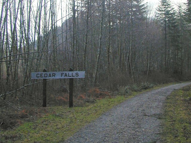
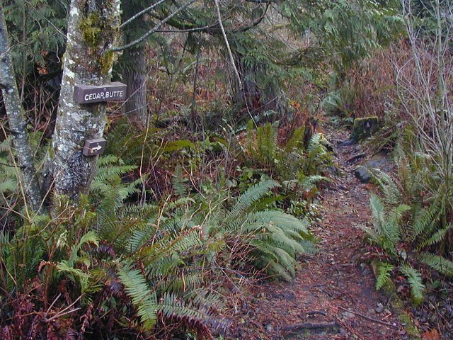
  • Go off I-90 on Exit 32 and drive 436th Ave SE (Cedar Falls Road) toward Rattlesnake Lake. The new (fee-based) "Cedar Falls" trailhead is located just past the Rattlesnake Lake parking lots. From the trailhead, follow the signs for the John Wayne Pioneer Trail. Follow the road-trail to where it crosses Boxley Creek. The marked Cedar Butte trail is on the right just before the third power pole after the bridge.
    cedarbutte01.jpg
    The Iron Horse/John Wayne Road-Trail
    640x480
    cedarbutte02.jpg
    Looking through the trees along the trail
    640x480
    cedarbutte03.jpg
    The start of the Cedar Butte trail
    640x480
    cedarbutte04.jpg
    The Boxley Creek Blowout route to the top is recommended!
    640x480
    cedarbutte05.jpg
    Moss covered tree along the Blowout trail
    640x480
    cedarbutte06.jpg
    Looking down to Rattlesnake Lake and the Iron Horse trail
    480x640
    cedarbutte07.jpg
    A look at the heavy clouds of this afternoon
    640x480
    cedarbutte08.jpg
    Mount Washington through the trees at the summit
    640x480
    cedarbutte09.jpg
    Closeup of lichen on a tree at the summit.
    640x480
    cedarbutte10.jpg
    The green, green, green way back.
    480x640
    cedarbutte11.jpg
    Swans at Rattlesnake Lake during sunset.
    640x480
    cedarbutte12.jpg
    Sunset at Rattlesnake Lake
    640x480

    All photos Copyright © Chris Duval