Sitemap

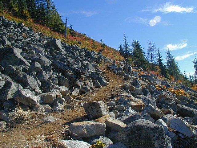
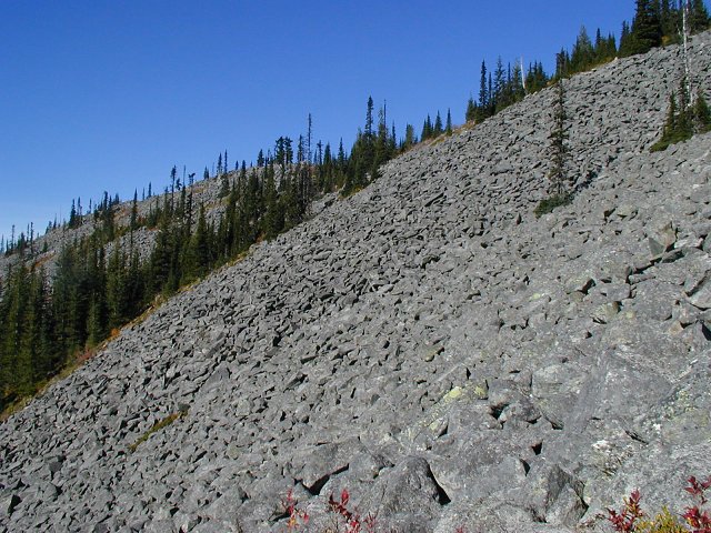
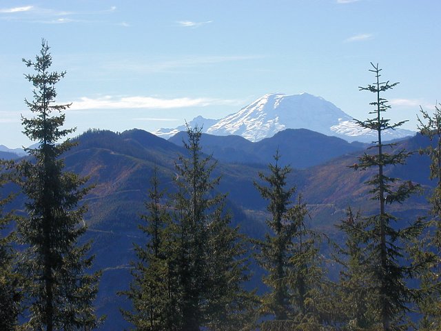
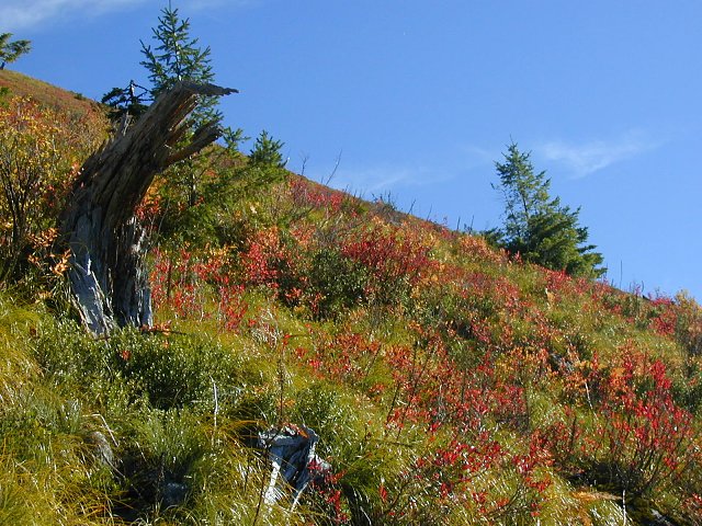
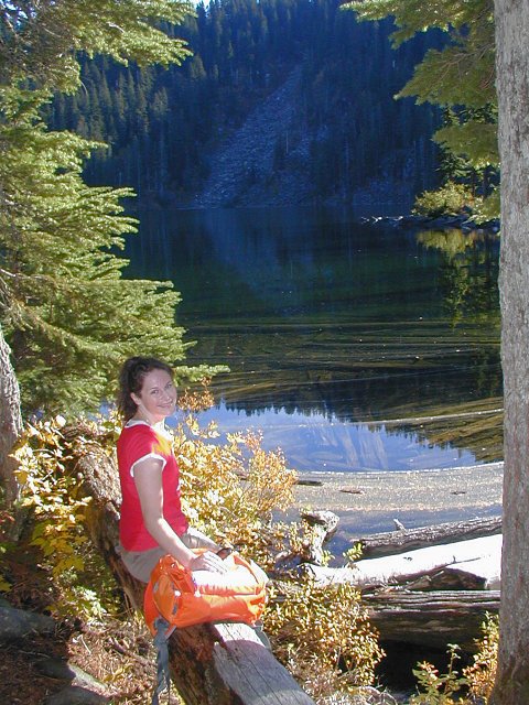
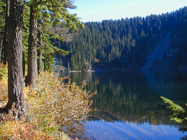
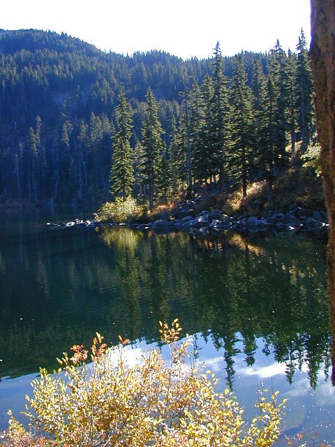
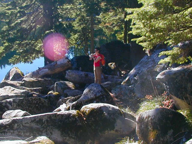
October 26, 2003 - Mason Lake
Elevation Gain: 2100 ft
Time: 1.5 hours up, 1 hour down
Distance (RT): ~6 miles
Difficulty: Moderate
  • Mason Lake @ Seattle P-I
  • Mason Lake @ MBSNF (describes old route)

    Related Books:
    100 Hikes in Washington's Alpine Lakes
    55 Hikes Around Snoqualmie Pass

  • From Seattle take I-90 to Exit 45. At the stop sign turn left and under the freeway to FS Road 9030. Drive about a half-mile to a Y and continue straight about three miles on Road 9031 to the trailhead.
    masonlake01.jpg
    The rebuilt trail has a pretty consistent uphill grade
    640x480
    masonlake02.jpg
    No scramblin' through these boulders...
    640x480
    masonlake03.jpg
    Views of Rainier get better and better as you go up the trail
    640x480
    masonlake04.jpg
    Fall colors out in full force
    640x480
    masonlake05.jpg
    More colors along the trail
    480x640
    masonlake06.jpg
    Ann on the trail as it looks upon Rainier
    640x480
    masonlake07.jpg
    Bandera's straight up from this point
    480x640
    masonlake08.jpg
    Ann at the lake
    480x640
    masonlake09.jpg
    Shot of Mason Lake
    640x480
    masonlake10.jpg
    Nothing terribly exciting about Mason Lake...
    480x640
    masonlake11.jpg
    ...so Ann uses her superpowers to create a ball of lightning!
    640x480
    masonlake12.jpg
    I was pretty impressed with the rebuilt trail!
    480x640

    All photos Copyright © Chris Duval