Sitemap

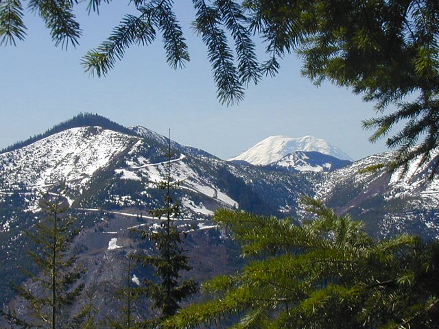
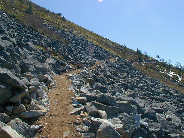
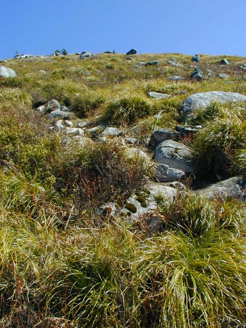
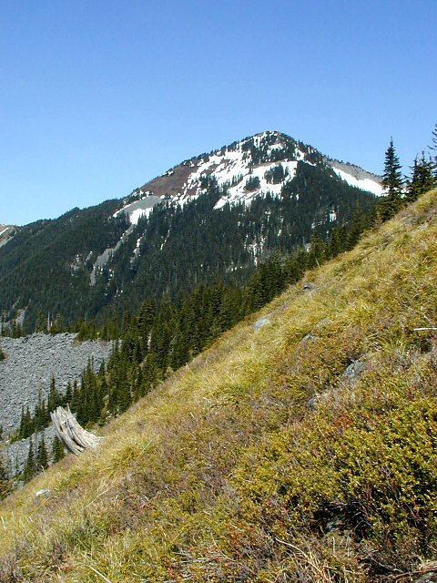
April 30, 2004 - Bandera Mountain
Elevation Gain: 3000 ft
Time up: 2 hours
Time down: 1 hour, 15 minutes
Distance (RT) 7 miles * (rebuilt trail adds distance, not sure how much)
Difficulty: Moderate to split to Mason Lake trail, steep to summit
  • Bandera Mountain @ Seattle P-I (describes old trail)
  • Article describing rebuilt trail @ Seattle P-I

    Related Book:
    55 Hikes Around Snoqualmie Pass

  • Go off I-90 on Exit 45 (Forest Road 9030), cross under the freeway, and continue straight for one mile. At a split, go straight on road 9031 to the trailhead.
    bandera01.jpg
    Mt. Rainier comes into view along the trail
    640x480
    bandera02.jpg
    Trail cutting across boulder field
    640x480
    bandera03.jpg
    Those rocks? Yeah, that would be the trail to Bandera.
    480x640
    bandera04.jpg
    Example of the grade on Bandera
    480x640
    bandera05.jpg
    Bring on the snow!
    480x640
    bandera06.jpg
    Rocky outcropping in front of Mt. Rainier
    640x480
    bandera07.jpg
    Trail to the top
    640x480
    bandera08.jpg
    Looking back and down to the highway
    640x480
    bandera09.jpg
    Looking northeast from the summit
    640x480
    bandera10.jpg
    Another view from the top
    640x480
    bandera11.jpg
    This guy tried to steal my lunch!
    640x480
    bandera12.jpg
    Snow-covered Mason Lake
    640x480

    All photos Copyright © Chris Duval