Sitemap

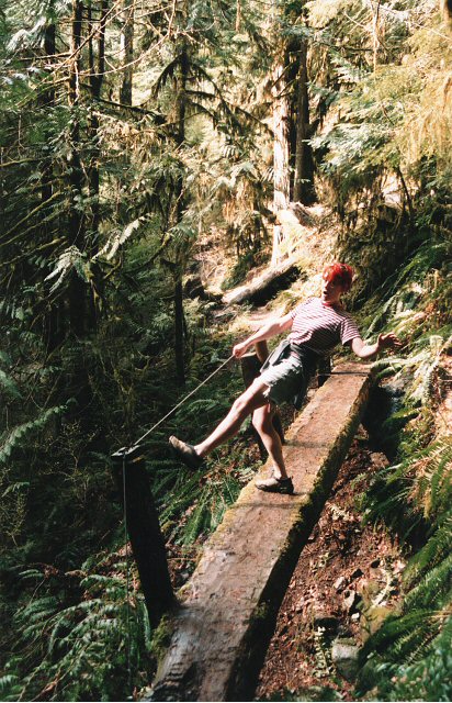
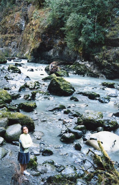
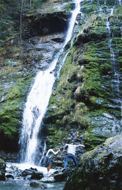
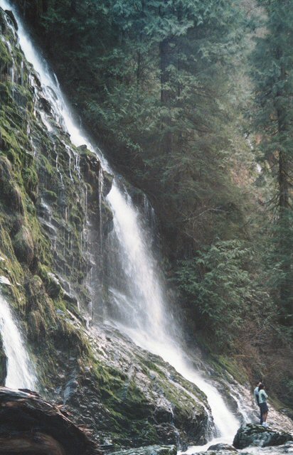
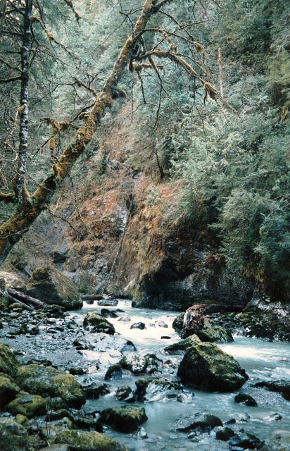
March 21, 2004 - Boulder River
Elevation Gain: ~250 ft
Time (RT): Lazy 2 hours
Distance (RT): ~2.5 miles
Difficulty: Easy
  • Boulder River @ Seattle P-I
  • Boulder River @ MBSNF

    Related Book:
    Winter Hikes in Puget Sound & The Olympic Foothills

  • From Seattle drive Interstate 5 to Exit 208 (Silvana/Arlington). Take Highway 530 east to mile point 41, and turn right on the French Creek Road (FS #2010). Follow this to the trailhead at 3.8 miles.
    boulderriver02.jpg
    Mossy Green-ness along the trail
    480x640
    boulderriver03.jpg
    Abbie being a nut
    412x640
    boulderriver04.jpg
    Krishna on the river
    412x640
    boulderriver01.jpg
    Picture Show Falls
    330x800
    boulderriver06.jpg
    Krishna and Mart�n hopping along the rocks
    412x642
    boulderriver07.jpg
    Don't get any on ya!
    412x640
    boulderriver08.jpg
    Chris viewing the falls
    640x412
    boulderriver09.jpg
    Last glance back at the falls...
    480x640
    boulderriver10.jpg
    Boulder River
    412x640

    All photos Copyright © Chris Duval