Sitemap

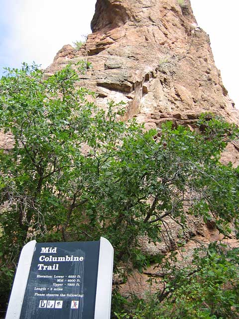
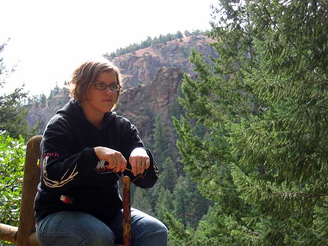
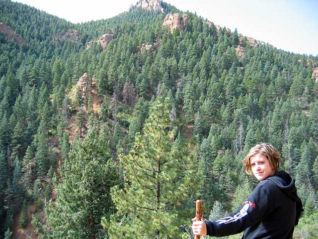
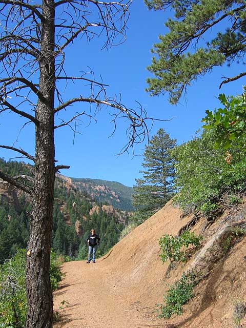
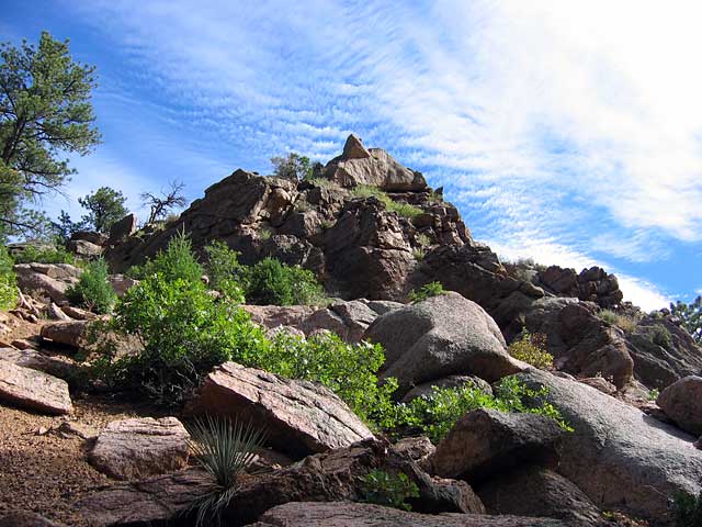
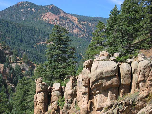
September 16, 2005 - Columbine Trail (Colorado)
Elevation Gain: ~500 ft(?)
Time (RT): ~2 hours
Distance (RT): ~3 miles
Difficulty: Easy/Moderate (first day at this elevation!)
  • Trails in North Cheyenne Ca�on Park
  • Columbine Trail @ Friends of Cheyenne Ca�on

    Related Books:
    Best Easy Day Hikes Colorado Springs Walking Colorado Springs

  • From I-25 take exit 141 (Hwy 24 West) and turn left on 21st Street (21st becomes Cresta Blvd.). Then turn right onto Cheyenne Boulevard. Stay on Cheyenne Boulevard. Turn left on South Cheyenne Ca�on Road.
    columbine01.jpg
    Welcome to your trailhead!
    480x640
    columbine02.jpg
    Nicole wondering how to take that cable to the top of the rock
    640x480
    columbine03.jpg
    Nice smooth trail...
    640x480
    columbine04.jpg
    Cool looking rocks look like a face in profile. Well, a nose, anyway.
    480x640
    columbine05.jpg
    Nicole gets on her high-horse. Fence. Whatever.
    640x480
    columbine06.jpg
    "We're not going up there, are we?"
    640x480
    columbine07.jpg
    Nicole on the trail
    480x640
    columbine08.jpg
    Holy mackeral I love this picture
    640x480
    columbine09.jpg
    Nice views from just about where we turned around...
    640x480

    All photos Copyright © Chris Duval