Sitemap

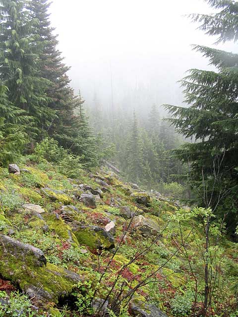
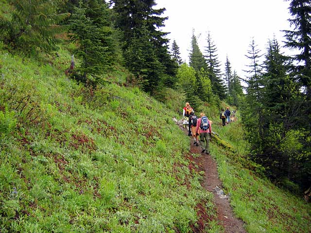
June 11, 2005 - Tonga Ridge
Elevation Gain: ~400 ft
Time (RT): ~3.5 hours?
Distance (RT): ?? miles
Difficulty: Easy
  • Tonga Ridge @ Seattle P-I
  • Tonga Ridge @ NWSource

    Related Book:
    Foghorn Outdoors Washington Hiking

  • Take US Route 2 east to the Skykomish Ranger Station, 1.8 miles east of Skykomish. Continue 1/2 mile and turn right onto FS Road No. 68 (Foss River Road). Drive 3.5 miles, then turn left onto Road No. 6830, drive 6.7 miles and turn right on Spur Road 310. Continue another 1 1/4 miles to the marked trailhead at the end of the spur road, elevation 4,300 feet.
    tonga01.jpg
    Fog would hamper and enhance the views
    480x640
    tonga02.jpg
    Hairy trees
    640x480
    tonga03.jpg
    The colorful group ambles on
    640x480
    tonga04.jpg
    It's Snow-time!
    640x480
    tonga05.jpg
    Birthday Girl Krishna does a zombie impression
    640x480
    tonga06.jpg
    "I think it's this way." "Nah, I think it's this way."
    640x480
    tonga07.jpg
    The gang's all here... but where's Abbie?
    640x480
    tonga08.jpg
    Oh. Riding the pony -- er, Bruno.
    480x640
    tonga09.jpg
    Don't I pull these out of my yard?
    640x480
    tonga10.jpg
    This trail ain't wide enough for the two of us!
    480x640
    tonga11.jpg
    A fleeting glimpse of blue sky.
    640x480
    tonga12.jpg
    Apparently there are great views on a clear day!
    640x480
    tonga13.jpg
    A meadow (hidden treasures were found!)
    640x480
    tonga14.jpg
    World Beard and Moss-tache Competition
    Category: Fu Manchu
    480x640
    tonga15.jpg
    World Beard and Moss-tache Competition
    Category: Freestyle Goatee/Soulpatch
    640x480
    tonga16.jpg
    World Beard and Moss-tache Competition
    Category: Sideburns
    640x480

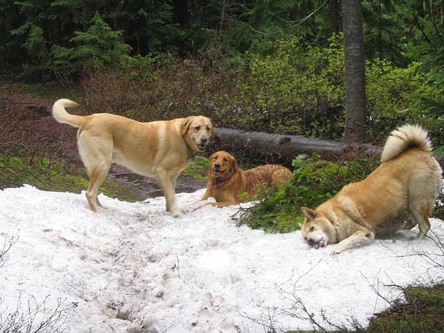
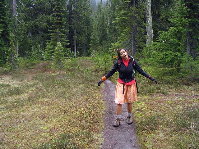
    Photos Copyright © Chris Duval and Abbie Deleers