Sitemap

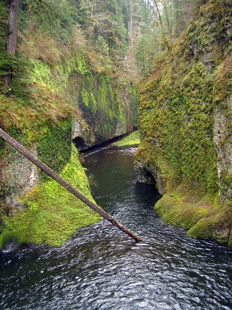
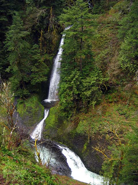
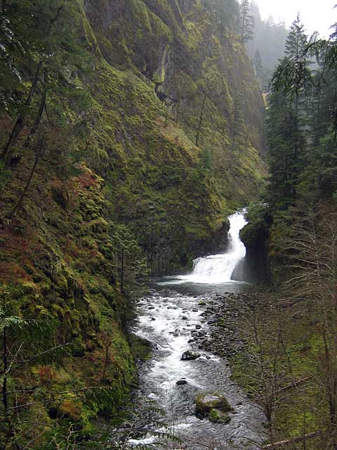
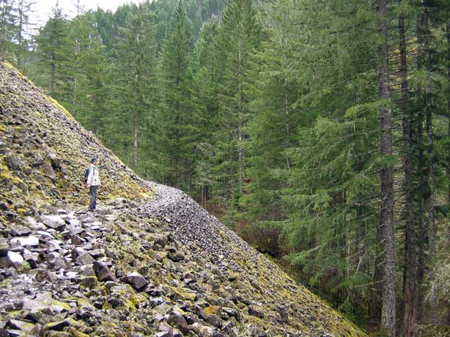
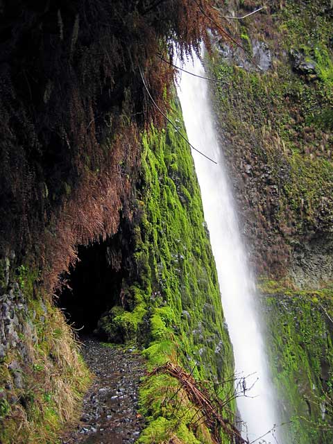
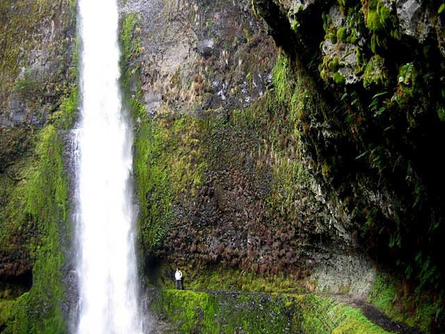
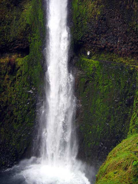
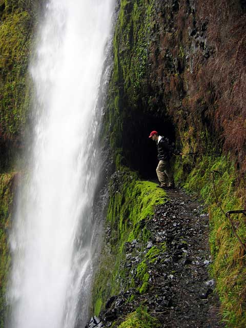
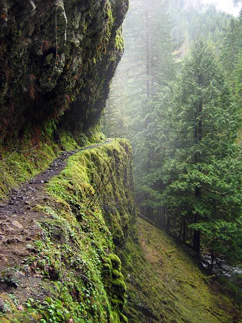
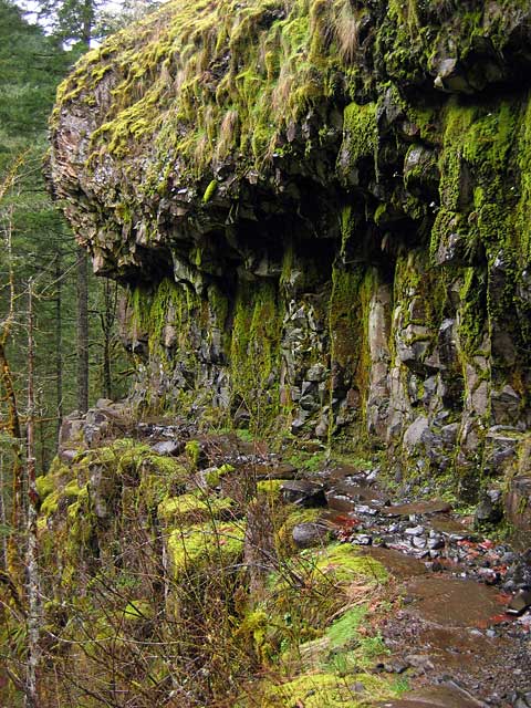
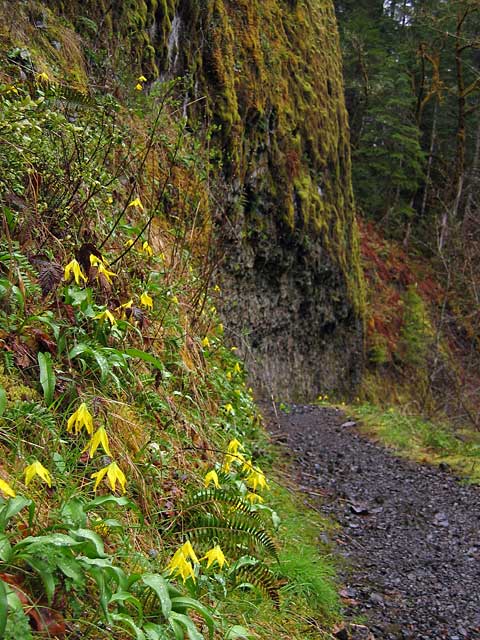
April 15, 2006 - Eagle Creek Trail (OR)
Elevation Gain: ~1000 ft
Time: 5 hours (RT)
Distance (RT): ~12 miles
Difficulty: Easy
  • Eagle Creek @ USFS

    Related Books:
    Moon Handbooks: Oregon
    Day Hike! Columbia Gorge

  • From Portland, take I-84 Eastbound, and get off at Exit # 41. (There is no Westbound exit at Eagle Creek � exit at Bonneville Dam and backtrack on I-84 to exit # 41.) Follow signs to the trailhead.
    eaglecreek01.jpg
    The foggy trail
    640x480
    eaglecreek02.jpg
    Yes, it was wet.
    640x480
    eaglecreek03.jpg
    Small waterfall along the trail
    480x640
    eaglecreek04.jpg
    Punchbowl Falls
    640x480
    eaglecreek05.jpg
    Some caves at the Punchbowl Falls outlet
    480x640
    eaglecreek06.jpg
    90-foot Loowit Falls
    480x640
    eaglecreek07.jpg
    Had to go a little off-trail to catch this one
    480x640
    eaglecreek08.jpg
    Lisa along one of the few exposed portions of the trail
    640x480
    eaglecreek09.jpg
    Approaching Tunnel Falls
    480x640
    eaglecreek10.jpg
    Lisa next to Tunnel Falls
    640x480
    eaglecreek11.jpg
    Checking out the drop...
    480x640
    eaglecreek12.jpg
    Chris checks that the cable holds... hold
    480x640
    eaglecreek13.jpg
    More cable holds along the trail
    480x640
    eaglecreek14.jpg
    Overhangs along the trail
    480x640
    eaglecreek15.jpg
    Flowers on the way back to the trailhead
    480x640

    All photos Copyright © Chris Duval